Arrrrgh, Google Maps has made it more difficult to embed trip maps. Let's over engineer something that worked correctly and make it garbage. Keep up the good work guys!
Day 5 of our trip to Yosemite last year. Not going to lie, I padded this post with lots of extra pictures of the same locations. I was enjoying myself on the ride and kinda put the camera away for most of this leg. It was a great! day of riding.
View Larger Map
We headed north on highway 49. At this point we were just trying to catch as many interesting Butler Maps "suggested" roads as possible.
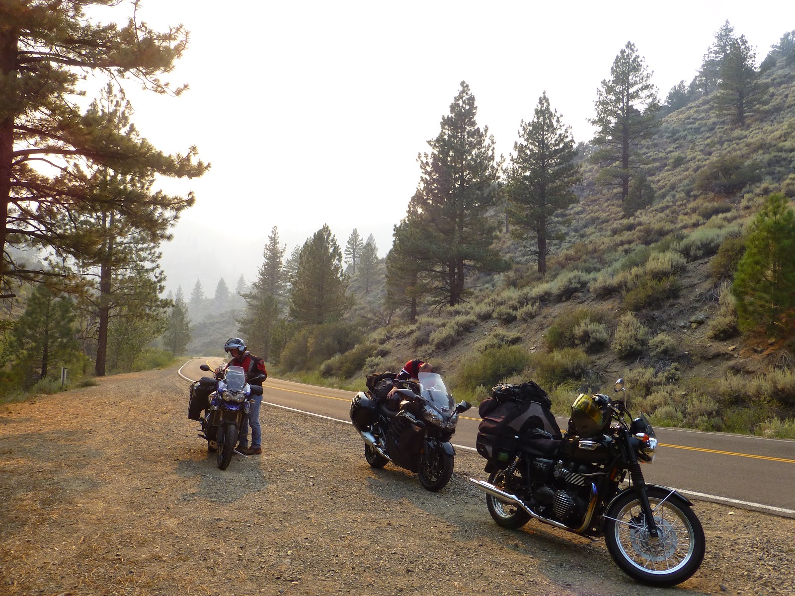
We stopped in the town of
Coulterville to stretch our legs.
Notice that highway 120 was closed due to the fire. I was a little nervous, since we had to head up 120 to catch the next scenic road north. I thought for sure there would be a road block to turn us around. But we were able to make it, no road blocks! You could start to smell the smoke of the fire for the first time on the trip.
From highway 120 we caught what Jacob would call a "paved goat trail" that scaled the sides of the nearby hills.
The bridge over
New Melones Lake. You could really see the effect of the on-going drought by looking at the much lower water line.
After grabbing lunch in the town of San Andreas, and losing my dad for about 15 miles, we headed east into the hills of the Eldorado National Forest.
Highway 88, headed east, we passed numerous lakes. Beautiful country here!
Smoke from the Rim Fire was constantly blowing to the northeast. We finally crossed that barrier when we turned onto highway 89. You could feel your throat get scratchy and the eyes seemed to water constantly.
We finally made it to the town of Bridgeport and camped near the shores of the Bridgeport Reservoir. We stayed at the
Paradise Shores RV Park. Owners were super friendly and let us have our pick of tent sites.
Later that evening we drove into town and had a great dinner at
Rhino's Bar & Grille.
Don't worry, I've got some much better pictures for day 5! Stay tuned, thanks for reading.


Paved goat trail? That is what most of our back roads look like through the hills, lol.
ReplyDeleteWater sure was low under the bridge. Made for a dramatic picture though.
Paved goat trails are the best riding roads IMO! I'd be glad if we had move of them around here.
ReplyDeleteHere Here regarding Google Maps! Nice ride, looking forward to getting West again!
ReplyDelete@nygumbo - Looking forward to your pictures out West again. They always make me want to get out and ride.
ReplyDelete