This is the continuation of a trip my dad, my friend Jacob, and I took at the end of July.
Day 7 was a rest day. I'm starting to think a good motorcycle trip has a rest day every 4th or 5th day, but we, possibly I, packed a lot of sights to see in a small amount of time..so day 7 it was.
After getting to sleep in, for the first time in a week, Jacob and I headed over to where my mom and dad were staying and made use of an unguarded hose to wash the Montana road construction off of the bikes.
For those of you who need reminding, one of the catalysts for this trip was that my niece got accepted to
University of Great Falls on a soccer scholarship. So I penciled them in for twenty minutes of meet and greet before we had to move onto the next state. No I'm kidding! I gave them 30 minutes.
Here's my sister and her family, minus one son, who couldn't make it due to football practice. They had flown in from Tucson that morning.
We headed over to the University of Great Falls campus to check out my niece's new 'hood for the next four years(6 years if she follows in my footsteps, which I suggest she doesn't).
Ahhh, home sweet home for all those new university students.
Surprisingly my sister seemed pretty chipper about dropping off her daughter. I swear I heard her muttering something under her breath. I think it sounded something like "Only one more to go, only one more to go!".
All settled in! Just think about all the late night homework assignments that will be completed here. Glad I'm not in college anymore;)
Day 8
View Larger Map
The next day we were on the road again. We wanted to hit highway 89 through the Lewis & Clark National Forest, but made sure to get right back onto the interstate to avoid the construction we encountered two days before. Here we are at the highest pass. Got a little chilly that morning, I flicked on the heated grips for a few minutes.
After a long stint on the freeway we eventually came to our next stop, the
Little Bighorn Battlefield National Monument. This site was one of my dad's picks. He never had a chance to stop here, but always wanted to see
Custer's Last Stand.
When you pull into the parking lot you're immediately drawn to the cemetery right in front of you. This is called
Custer National Cemetery. The Battle of Little Bighorn took place in 1876, this cemetery was established ten years later. Most of the graves you can see were transferred from various abandon fort cemeteries in the area. As well as soldiers and sailors killed in action that served in the U.S. military during the Indian Wars, Spanish American War, World War I & II, the Korean War and Vietnam. It was closed in 1978 and I believe it takes a act of Congress if you want to be buried here now.
Walking up to the visitors center we caught the last half of a ranger presentation on the history of the battle.
From here you can spot the marker of the mass grave site on top of Last Stand Hill.
My dad bought tickets for the last driving tour of the day. The start of the battle takes place about three miles away from Last Stand Hill. This particular tour was led by the Crow Agency and it was interesting to hear both sides on what happened here.
I'm not going to cover the events of the battle, you can read up on it from the link above. But I'd strongly suggest taking the tour if you're there. You'll learn about the events leading up to the battle. Then a running narration of what is thought to have happened, starting on Reno Hill and concluding three miles, back at the visitors center, with Custer and his men at Last Stand Hill.
Looking out over the bluffs at Reno Hill. Even though this battle took place over a hundred years ago I felt like we had stepped back through time and Custer's army could be riding down from over those hills in the distance.
The headstones you can see in the monument don't mark where real bodies are buried. They mark the locations of where Custer's men fell during the battle.
My dad approaching Last Stand Hill after the tour.
Days after the battle most of the bodies were hastily buried, where they fell, and each burial marked with the soldiers name. Which is why the white headstones reflect a eery picture of how the battle went down.
The site where Custer is believe to have fallen is marked with a white headstone that has a black background
This plaque explains what happened to the remains after the original burialials.
The monument has a recent addition of a
Indian Memorial nearby that honors the last stand of the Plains Indians and the end of their way of life.
Jacob taking a break after exploring the monument.
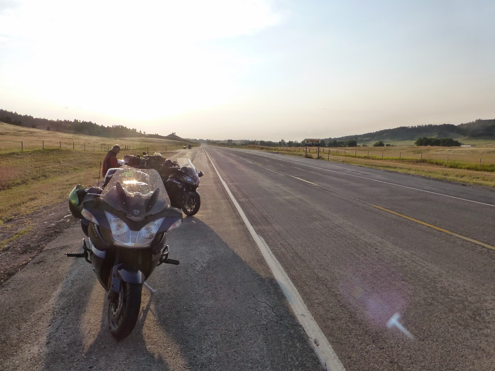
After spending a couple of hours at the battlefield we were eager get to our next campsite and take a break. We pulled over as we crossed back into Wyoming. I wanted to get our picture next to the Wyoming state sign. A trucker was nice enough to take our photo. I forgot to mention that after Great Falls my mom headed back to Tucson. So from this point forward it was just the Three Amigo's on the open road.
We pulled into the town of Dayton, Wyoming just as the sun was setting.
I had found the
Foothills Motel & Campground on Google maps. It was probably the nicest grass camp sites we'd pitch our tens on during the whole trip.
Notice all of our tent fly's are not out. I kind of declared that there was no risk of rain that night. Which Jacob and my dad blindly believed. Come midnight we all heard the soft pitter patter of rain. A mad scramble ensues where we all jump out of our tents and run around in the rain throwing the rain tarps on. From that night on, Jacob and my dad always setup their tents with the rain fly's on.
Whew it's late. Hope there aren't too many spelling errors! More trip coming! Thanks for reading!