Tuesday, June 28, 2011

2818 miles on a Bonneville - Day 5

Day 5.  After accomplishing my goal of surviving/visiting the Rockies, we pushed on towards the plains.  Nebraska wasn't originally in the plans but we decided we could add another state to our list and another geocach for Vern.  Our ride would run around ~320 miles and end in Oakley, KS.  Don't ask me why Oakley was our destination.  The original travel plans had been made months ago by people who were no longer on the ride.  Vern and I just had our hotel reservations there, and by gosh, we were going to see what the town had to offer.


View Larger Map

Morning in Estes Park.  It was gorgeous.  Sun was out, the temperature was plasent and I sipped coffee as I strapped my bags to the bike.  Vern ended up staying in the rooms across the way.  Apparently they weren't as nice as the rooms on my side of the lodge.  When asked, the lodge manager said it was just luck of the draw on which rooms you ended up in depending on when you booked the room.  Vern wasn't happy with that answer.  I'm sure TripAdvisor has been duly updated:)

If you expand the photo you can see a guy next to the picnic table.  He and his wife were laying out what appeared to be rock climbing gear.  If I was more the social butterfly I would have wandered over and asked where they were headed.  The chicken in me kept packing my bags and sipping my coffee.  But I'm sure they were headed somewhere cool:)
 I like this photo as it shows the mountains we drove out of last night.  You'll also notice the sign on the left that states "Lake Estes Golf Club".  That leads into my next photo.
 As I was packing Vern mentioned there had been Elk on the golf course earlier in the morning.  Vern's an early riser.  So I grabbed my camera and crossed two fairways to snap some photos.  Pardon me sir, you really want to use a pitching wedge here instead of a nine iron..oh and don't mind the electronic shutter noises coming from my camera.  Did you just hear someone yell "Fore"? (Just kidding, he was taking a practice swing.  I wouldn't snap photos during someone's real swing.)
 You do _not_ want to meet up with some of these guys while riding down a road on your motorcycle. 
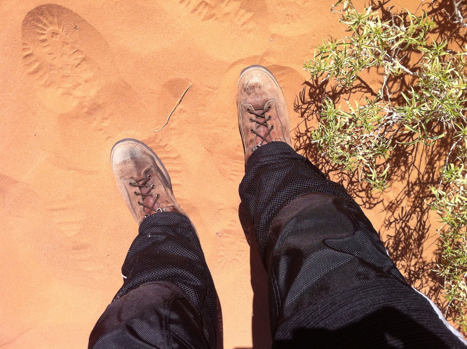
 I must say, the lady in the black dress really knows how to look good on a nature trail!
 The road heading out of Estes Park was spectacular on a bike.  Plenty of curves and scenery.
 I have no idea what the name of this river was.  But it seemed to be flowing pretty good.
 Please avoid picking up hitchhikers that look like this.  The neon yellow is a definite clue to mental instability.
 Someone's been practicing with Photoshop.  And Vern doubted my skills when I was taking 15 pictures at the curve!
 We made a quick stop in Loveland to fix a busted bolt in one of Vern's foot pegs.  I can't comment on the rumor that he may have dropped the bike trying to back out of the parking spot this morning.  As we continued to the east we had a single rain cloud sitting right above the road we were on.  It's pretty frustrating when all around you is clear sky and the direction you want to go is covered by rain.
 We tried to press on but we continued to hit heavy down pours.  So we pulled off the road in Fort Morgan.  Vern suggest that we just grab lunch and wait it out.  I couldn't agree more.  We ended up at Mexican restaurant called Santiago's.  Pretty good food.  I had fajitas.  That's an inside joke for people who know me:)
 After lunch we were storm free to Nebraska. Yes, those are bullet holes in the sign.  Either Nebraskan's like their target practice or Colorado folks like to chase Nebraskan's back to their side of the boarder.
 Vern broke out his GPS in Haigler, NE.  The geocach was nearby.
 A few miles out of town was a historical monument.  Vern's research had told him a geocach was located in the vicinity.
 This was actually a really neat stop.  No one around for miles.  Green plains rolling out to the horizon.  It was a big difference from the dry heat and desert of home.
 After a few minutes of walking around Vern's GPS locked onto the proper coordinates and he located his Nebraska geocach.
 I'll let you peek into this one.  You'll have to locate your own on the next one.
 I thought this was a cool picture.
 Ok, so one more picture at this stop to explain what happened next.  I took this one from my phone but It really shows off that dark storm cloud on the horizon.
 That cloud was to our south, and we headed straight for it after crossing over into Kansas.  The storm seemed to stretch on for miles off to our right.  It was pitch black and lightning would crackle all across the front of it as we rode by.  For forty miles we skirted the storm that hovered off to our right.  No rain, just the constant threat that something was going to hit soon.  The fact that we weren't hitting anything lulled us into a false since of security.  In the town of Colby we were about eight miles from Oakley.  I suggested to Vern that we pull off and wait it out, but we were about to get on a freeway that would lead us away from the storm and Vern thought we could make it.  So we pressed on.  This was a bad decision.  As soon as we got on the freeway the storm opened up with everything it had.  Rain and hail was coming in sideways.  I only had my rain jacket on and the water was already soaking my jeans.  My tinted faceshield started to fog up and I had to open it a crack just to see in front of me.  Rain poured into my helmet. Vern's windshield made it impossible to see in front of him, so he slowed down to a crawl.  I jumped in front him hoping my tail lights would lead the way, but after awhile he dropped back to the point I couldn't even see his headlights.  I desperately wanted to tear ahead and make Oakley but I kept thinking Vern may lose control and I would have left him out there on the freeway, so I came to a stop under a overpass.   Vern pulled up after a few minutes later and said we were only two exits out..we should just go for it.  So we pressed on.  It was pitch black and I could hardly see.  At each overpass there were cars and semi-trucks parked on the side of the road. I kept thinking that these people must have thought we were nuts, two motorcyclists cruising down the freeway like nothing was wrong.  It was amazing that a tornado didn't roll through and carry us off into OZ.  FINALLY after the longest 8 miles of my life I caught the exit ramp to Oakley, and almost started crying when I saw the sign that said Oakley was still 5 miles out.  Luckily there was a convenient store at this exit and Vern and I parked the bikes and ran inside.  There were about 20 people in there waiting the storm out and Vern and I looked like drowned rats.  I just stood by the door and dripped water.  Vern bought me some coffee and I was able to warm up a little.  After 30 minutes the worst of the storm had passed by.  Vern was eager to make the hotel so we got back on the bikes in a drizzle and headed for the hotel.
 Let me tell you the hotel ended up being the equivalent to the Bates motel.  I'm pretty sure Alfred Hitchcock filmed here for the making of Psycho.  The highlight was when we found out they didn't have any heat.  Only AC.  It was the low point of the trip.  After a hot shower we discovered the only open restaurant was a Pizza Hut 10 blocks away and they didn't deliver.  We were so hungry we ended up walking the 10 blocks in the rain.  Not really the brightest bulbs in the bulb box.

Tomorrow, the blast furnace that is Texas. 

Monday, June 27, 2011

2818 miles on a Bonneville - Day 4

I was chomping at the bit to start day 4.  Our goal was to go through Rocky Mountain National Park and end in Estes Park.  We were going to cover around ~320 miles and I was worried we'd run out of daylight while in the park.


View Larger Map

Leaving the hotel in the morning.  I knew it was going to be chilly, so this was the first day I wore jeans under the mesh pants.  If I remember correctly I threw on that sweatshirt, sitting on my bag, before I left town and it was a good thing that I did.
Vern is big into Geocashing.  If you don't know what that is check it out: Geocaching.  Anyway he had a goal of finding a Geocach in each state that we visited.  So before heading off we stopped to find one in Delta.  Apparently all of the geocach's in Delta are located near murals.  Hence where Vern found one across the street.
 Dr. Quinn and Starr headed back to Tucson early so Starr could make it back to work on Monday morning.  So from this point forward it was just Vern and I.  It worked out pretty well,  Vern and I have similar personalities so we just took our time and stopped for photos when we felt like it.
 It didn't take long after leaving Delta that we started gaining altitude entering the Grand Mesa National Forest.  I didn't expect to hit high altitude so quickly.  It was a bit chilly going uphill as I only had on my summer gloves and light sweatshirt on under my mesh jacket.  With the wind chill of riding the bike, it got cold fast!  I didn't know it at the time but we had reached 10000' elevation in no time and I started to see snow on the ground.  Vern pulled over into a parking lot and I couldn't believe there was a lake with ice!  This is Cobbett lake.
 Surprisingly, once we got off the bike it felt warm.  The sun was still out and the wind was calm.  I quickly threw on my jacket's windbreaker and thermal liner on for the next leg of the trip and switched over to warmer gloves.  Vern hit the restroom at the ranger station and it was a good thing that he did.  He mentioned to the rangers, working there, which way we were headed and they let him know our intended path hadn't been snowplowed yet.  We'd have to hit the interstate a bit earlier then intended.
 I was a little hyped up after seeing snow.  It didn't feel like it was in the forties.  Keep in mind I'd been in 100 degree weather just two days earlier.
 King of the Mountain!, of dirty snow.
 We took a service road behind the ranger station to see the numerous lakes in the area.  This one is called Deep Ward lake.
We caught a little rain leaving Grand Mesa.  We threw on our rain gear and headed north to catch the freeway at De Beque.  I wanted to avoid as much interstate as possible on this trip but it couldn't be avoided.  I-70 cuts across some pretty steep terrain and taking side routes would have taken to much time. Of course it wouldn't be a trip with out hitting road work.  They had closed one side of the freeway and we had to wait our turn while traffic in the opposite direction could pass.  The Colorado river is off to the right of this freeway and man! was it running.  We saw numerous rafting tour groups that looked like they were having a ball.
 We had wanted to get gas in the town of Wolcott, but when we got there it wasn't much of anything.  To make matters worse It had started to rain hard.  We continued on to the town of Edward, where we filled up with gas and ducked into a BBQ place called Kirby Cosmo's BBQ Bar.  The staff there were really nice. They let us throw all of our gear out to dry and even took a look at our map and gave us tips on which roads to take.  It turns out that one of the roads we were supposed to use was dirt.  Vern doesn't drive on dirt so we came up with a detour that didn't add too much time.

After a few hours of driving we finally hit the road that led into Rocky Mountain National forest.  Quick shot with all my rain gear on.  Notice the helmet hair.
 It didn't take long to find elk.  Prior to taking this picture I had my first scary moment on the bike.  Vern had motioned to pull over to snap some shots and I proceeded to do a quick stop.  Either the disc brakes or the tire rubber were a bit to cold and the rear wheel locked up on me.  One instant I was breaking and the next my rear wheel had swung out to the right and the bike was close to high siding.  I released both rear and front brakes and the bike centered up again.  Gave me the shakes for the next hour or so.
 This shows the valley that you drive into entering the park from the west side.  We quickly started climbing in elevation.
 Soon we hit the continental divide.  The snow drift on the side of the road was still 9-10 foot high.  Making it to this location was probably the highlight of the trip for me.
 At this point Vern and I assumed we'd be headed down the mountain towards Estes Park.  Little did we know that you keep climbing in elevation.
 Pretty soon we were above the tree line and in a alpine tundra zone.  Clouds started to roll in and it started snowing!  Vern was getting worried about ice on the road so we made a beeline down the mountain.  At one point I saw a sign stating 12090' elevation.
 As we came down the mountain snow turned to rain and we arrived in Estes Park wet and in the dark.  Luckily we found Ed's Cantina and Grill.  Nothing fixes rain like a nice burger and beer.

Tomorrow, Nebraska and Kansas! 

Saturday, June 25, 2011

2818 miles on a Bonneville - Day 3

Day 3 was about 250 miles total.  We started the morning exploring the Arches National Park and then headed to Delta, Co. 


View Larger Map

After breakfast we headed north.  The entrance to the park is just outside of town.  I think it cost 10 dollars to get in.  This is a good picture as you can see highway 191 off to the left, the visitor's center/entrance to the park, and main road leading up.  I had to keep splitting my attention to the sights and then back to driving the bike.  Stopping quickly a couple of times because I was gawking at the massive stone cliffs and not watching what I was doing.


Had to throw this in to show the bikes.  Dr. Quinn's is up front, the Bonnie in the middle, and Vern's behind that.  Dr. Quinn's bike has over 125 thousand miles on it believe it or not.  There were supposed to be a few more people here.  But you know how it goes, as the actual event nears people back out.  Didn't bother me, the fewer the people, the more relaxed trip in my opinion.
 Looking south, back towards town.
 Who is that masked man??  What a sharp dresser.
We drove farther into the park and found an area with camp grounds and fire pits.  It must be amazing to camp here in the fall or spring.  The stars would be amazing!
My artistic photo of the day.  The sand comes from the surrounding sandstone cliffs.  I'm wearing my old hunting boots.  They're really comfortable on the bike and I didn't want to risk wearing brand new boots on a long trip.
View from the top.
And behind me was "Skyline Arch".  This is the view from behind it, hence the campgrounds and water tank etc.
We buzzed over to the vista point of "Delicate Arch".  There is a trail that will take you all the way to the arch, but the parking lot was full, plus it was starting to heat up, so we took a small hike to get the distant camera shot.  You can see the arch on the far left to give you perspective.
In the close up, you can see the tourists that hike out to it.  Looked to me like there was a line to the right where people were waiting to be by themselves in the center of the arch to get their picture taken.  If you want to see some really spectacular shots of this arch just search Google images.
Last stop before we left the park was "Balancing Rock".  This thing was amazing!
Dr. Quinn and Starr on the right.  Vern was taking the photo.
Pictures and words can't express how cool this place was.  You need to go there for yourself! 

Exiting the park we traveled south and east, over the La Sal mountain range.  I was so caught up with just enjoying the ride I took very few, ok.. maybe _none_, pictures on the rest of this leg.  Which is a shame since it was so beautiful.  We dropped down into the Unaweep Canyon and followed the Dalores river up through Gateway and east to I-50.  I found two pictures on the web that really show what I remembered seeing of the canyon.  I didn't take these so I'm linking where I found them. (Source)

We passed a pretty ritzy looking resort in Gateway.  I'm linking it here for anyone who really wants to get away from it all for a few days:) 

We caught some rain passing thimble rock point, but by the time I put my rain jacket on it has passed.  Coming into Delta we hit some strong winds.  The locals told me it seemed to be constantly windy lately.  Little did I know the winds in Texas would make the Colorado winds seem like soft breezes.

Tomorrow, the best part of the trip for me. Rocky Mountain national park!