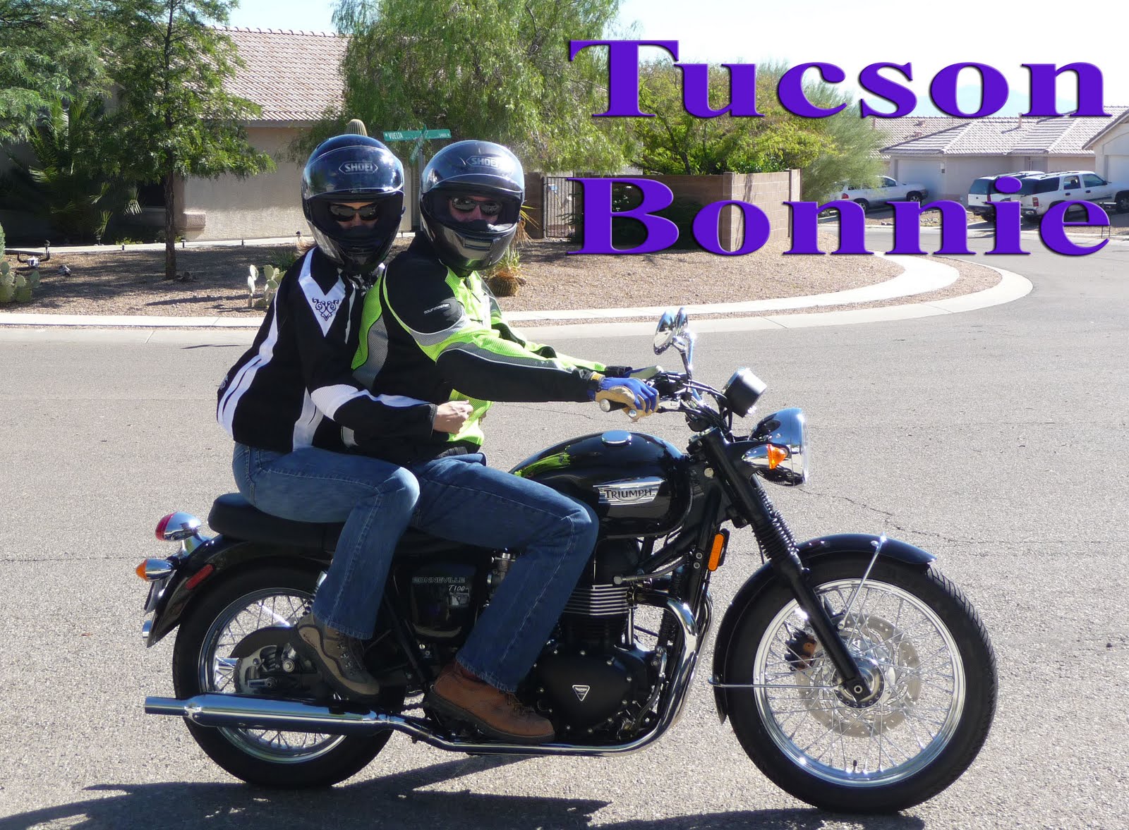
Day two would end up being the longest leg of the trip at ~370 miles but I wasn't aware of the distance at the time. I was to excited about being out on the open road on my own.
View Larger Map
Before we left the hotel we fueled up on a small breakfast. The odd looking item in front is a German pancake. Sort of a cross between a pancake and a omelet. I've found a recipe online if you want to try it yourself. It was very good with syrup and powdered sugar.
My goal was to stay off the freeways as much as possible. Instead of going up to Holbrook and over to US-191, my dad and I headed over to the town of St Johns. Here we parted ways. I headed north and he continued south, back to Show Low. I wish he could have come along but he had to get back to work and the dual sport doesn't make for a great touring bike. He may correct that soon.
It was smooth going, and fun, to be out on the open road. I fueled up in Sanders and made the short hop on the interstate over to 191 north. I remember a few people taking long looks at me as they passed on their way to destinations unknown. It was good to be on the bike and not looking out from the inside of a car for once.
I pulled over in Burnside, AZ to snap a few pictures. It's a small crossroads in Apache County but the nearby hills caught my eye.
I placed my camera on a gas pump to snap the following picture. Both the jacket and pants are mesh which kept me cool as I was going down the road. I was wearing shorts under the pants.
Somewhere between Burnside and Chinle I passed a rather large semi-truck going the other direction on a small bridge. As the truck came off the bridge it kicked up a very large rock that hit the face shield on my helmet. It left a pretty big gash and some micro fractures, but overall the shield did it's job. Luckily the gash wasn't in my line of sight and I was able to still use it for the rest of the trip. But I will have to get a replacement.
The area where I pulled over to check the shield was very pretty so I snapped a few pic's.
I stopped for gas and food in Chinle, AZ. This town sits at the entrance of the Canyon de Chelly National Monument. I wish I had been able to go explore, but I wanted to make Moab at a reasonable time and the temperature was starting to get hot.
I made my only wrong turn on the trip at Round Rock, AZ. I went about five miles before I decided to check my maps and conclude that I needed to turn around. I was stopped so I snapped a photo.
Once I got back on track I eventually hit the Utah border. Seemed to take forever to leave Arizona. There is a lot of country out there. I look like a visiting space alien in this shot.
From here I made very few stops. I was booking it for Moab. I stopped once or twice for gas and I can tell you the areas around Blanding and Monticello UT are very green and pretty.
I rolled into Moab around 6 pm. After finding my hotel I met up with my fellow riding club members and proceeded to have dinner. Moab is nestled between rising sandstone canyon walls. There's a very cool panoramic picture under Moab's Wikipedia page that gives justice to the canyon walls. Check it out.
I stayed in the Ramada Inn as seen in this pic.
Dinner was had at a local chinese restaurant.
From here we made plans for the following day and strolled the main drag of Moab. Tomorrow, Arches National Park!!


No comments:
Post a Comment