Day 8! So close to home I could feel it. Vern had been on the trip since Las Vegas and was eager to get back, so he decided to make the last push to Tucson in one day. While getting home a day early would have been great, some part of me didn't want the adventure to end. So I decided to skip the interstate and add one more night in Safford. I could finish the last few miles to home the next morning when it was cooler. Safford was 308 miles away with a few small detours through the Gila National Forest.
View Larger Map
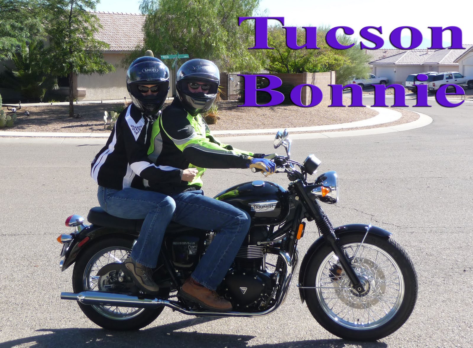
One last shot of Vern before he headed home. I couldn't have asked for a nicer riding partner. We got along well and he never got frustrated with me always wanting to snap one more picture.
While some people may think riding alone would be miserable, on a bike it gives you a lot of benefits. You don't have to worry about setting a certain pace. You can stop whenever and wherever you like. And it gives you that solitary "out on the open road" "wandering spirit" feeling. I was looking forward to having one day just to myself.
After filling up with gas I tried stopping at the local McDonalds. As I walked in there was a long line of early morning patrons. I asked an older gentleman if it was always this slow and he was quick to point out that most of the employees must have slept in, because he had never seen such bad service as today. I told him I'd see if the service in the Truth or Consequences McDonalds was any better. He laughed and wished me luck as I headed out the door.
Service in Truth or Consequences was _much_ better and after a few minutes I had my breakfast. I didn't forget to take a picture this time and slowly sipped my coffee while going over my route. Even through I could pull up maps on my phone, I did bring a paper map of each state we passed through.
Shortly after leaving ToC, I turned off the interstate at highway 152. This was the scenic route heading to Silver city. Let me tell you, this was the coolest "motorcycle" road I encountered on the entire trip. I'll link a small section of map that shows crossing over Emory pass.
View Larger Map
Most of the curves were posted at 10 to 15mph and the elevation got up to ~7600 feet. I hadn't expected this portion of road to be so good. It caught me by surprise and ended up being the cherry on top of a great trip.
Here was the view at the top of the pass. This was looking out towards the town of Kingston where you start to climb up into the hills.
And here you can make out some of the road leading up to the pass.
The whole enchilada.
I shared the view with a couple of bicyclists. I saw quite a few making their way up the mountain. It must be pretty rewarding to make it to the top on your own power.
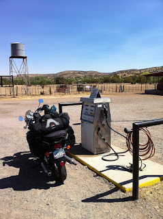
From here you head back down in elevation to the town of San Lorenzo. It started getting hot again. I got a little worried as there was supposed to be a gas station in the area but the one in San Lorenzo was closed down. I was pretty sure there was one in the town of Mimbres..but if I couldn't find it I'd have to change course and take the shorter route to Silver City. Luckily Google street view didn't lie and I found my gas station. It was the most rustic one on the whole trip.
From here I headed north into the Gila National Forest. It kind of let me down as I was hoping for cooler temps, and even through I was at 6000' it never got cool. As a matter of fact the whole place felt like a tender box. There were _extreme_ fire danger signs everywhere. One cigarette butt from a careless smoker and it would have been a disaster.
I made it to Lake Roberts and snapped a picture. I didn't sit long as I was already sweating. Once the raining season starts I'm sure this area would be much more enjoyable.
Shortly after the lake the road had just been chip sealed. For those of you who don't know what that is, they spray fresh tar on the road and then cover it with plenty of gravel to create a new road surface. I ended up driving ~20 miles back towards Silver City on loose gravel, oh and did I mention there were plenty of curves. I may have cussed a few times.
At this point the temperature was really starting to climb, so I filled up with gas in Silver city and proceeded to get lost trying to make my way out of town. I always get turned around in that town. I headed north to mule creek road and back over into Arizona.
I made it to Safford around 2pm and I'm glad I wasn't driving the rest of the way to Tucson. I'm sure it was 110 degrees in the sun by that point. I called up a cousin that lived in Safford and was able to meet him for dinner at a nice Mexican restaurant. Of course I forgot to take any pictures. Fail.
The next morning I got up early and headed home. About ~127 miles.
View Larger Map
After kissing the wife and dog, I checked the milage...
Woo hoo 2818.6 miles! My longest trip on the bike, and first time out of the state with her. I had a blast and can't wait to get out there again.
For those who have been reading along, thanks! Sorry for taking so long to finish. I have my next trip in two weeks..so stay tuned.
If you enjoyed the trip and can't get enough, please take a look at one of my favorite bloggers. He's kind of my inspiration for buying the bike and getting out on the open road. AND he's currently out on a trip right now...so check him out at
http://mybonnie.wordpress.com/
Thursday, August 18, 2011
Monday, August 15, 2011
2818 miles on a Bonneville - Day 7
I know I know, I kinda stopped posting. No real excuse other then the fact that I've been lazy and work has been stressing me out. My Aunt emailed me last night and threatened to hunt me down if I left the trip hanging in Amarillo. So here we go...the next leg ended up being ~394 miles..which kinda makes me a liar. I said my longest leg was 370 miles back on post "day 2". Never make bold statements early in your trip descriptions. For all my younger readers out there you should be writing this down. Life lessons learned the hard way, free of charge.
View Larger Map
Our goal for day seven was Socorro, New Mexico. Let me warn you that this day/post is light on pictures. For some reason I stopped using the camera. I can give you a long list of excuses, but it boils down to the fact that unless you really make the effort to document your trip it's very easy to slip into a mode of just living the trip or existing in it. There's nothing wrong with that, but it's hard to translate that trip into blog post without pictures, and so you must constantly remind yourself to whip out the camera as much as possible. Easier said then done.
If you remember from the last post Vern and I stayed at separate hotels in Amarillo. So we agreed to meet at a familiar location in the morning. What's more familiar then the place you stuffed your face the night before. That's right! The Country Barn.
Not going to sugar coat it here. I was scared of the heat we encountered the day before. So Vern and I agreed to leave as early as possible. "Early as possible" means 6am in Texas.
From here we caught the the freeway south until interstate 60 where we started heading southwest to the boarder of New Mexico. What can I say. A lot of straight, flat riding. We passed through plenty of towns that all seemed to make their living on cattle. We made pretty good time, and eventually we crossed over into New Mexico. We were supposed to be in Farwell, but kept seeing signs that said Texico. It took us awhile to realize the town changed names depending on which state you were in.
From here we made our way to Roswell. I know what you're thinking...how can you not take pictures in Roswell. It's just a normal town overall. Yeah you see the plastic green space men on the outside of stores and on signs..but I was more concerned with how hot it was getting. It was only 11am and I was starting to sweat..so we made a beeline for a subway and mapped out our next destination. To be fair, Vern he did ask if I wanted to stop and get pictures with plastic space men..but I declined. Maybe it was the fact that we were getting close to home and I could already see my wife and dog over the horizon.
While we ate our sandwiches I broke out the New Mexico map and started looking at a change of path. Our original path had us going through Capitan, but Vern used to live in the area back when he was in the military and mentioned we could go see Ruidoso and the Ruidoso Downs racetrack. More important to me was that it was at 6500' elevation. The decision was made..and we were off.
I'm going to cop out and just link a history of the area that I found on a reality web site. Wikipedia failed me. Feel free to buy a house while you're at their site:) Needless to say the area was very cool. I saw little breweries, shops, and restaurants. If I could do it again I would have found a hotel there and spent the rest of the day exploring the area. Alas, we just filled up with gas and continued on our way.
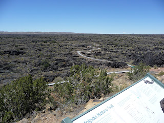
Coming down out of the mountains we entered the "Valley of Fire". From a long way off you can see a large section of the valley floor with a dark spot sitting in the center. As we got closer the spot became larger and larger until starts to encompass you. And then you enter the lava fields.
Basalt lava, like it formed yesterday, is everywhere. Imagine the lava you see oozing out of volcanoes in Hawaii and you have an idea of what this looked like. Vern had come through this area years before and said that if you drive through the area at twilight, by yourself, the whole landscape can become very spooky. It's very hard to explain, but you almost feel like you're on another planet. Like a rocky moon or something.
From here we drove west to Socorro. We crossed the top of the White Sands missile range. Only a few miles from where the first nuclear bomb was set off at the Trinity test site. Vern told me they allow the public to visit the area twice a year. I would have loved to see it.
We arrived in Socorro in late afternoon. Another top of the line hotel...that's sarcasm if you didn't pick up on it. The place was only slightly better then in Oakley. We walked across the road to enjoy some pizza and beer before calling it a night.
Stay tuned for tomorrow when I post Day 8 and 9 and the end of the adventure!!!
Subscribe to:
Comments (Atom)


